SEOUL, June 26 (AJP) - A ground-based laser scanner can now map the full three-dimensional structure of a tree precisely enough to calculate how much carbon it stores, without cutting, drilling, or attaching anything to the tree. That is the finding of a joint study by Kookmin University and the National Sejong Arboretum, published in the Journal of the Korean Cadastre Information Society in April 2026.
The technology relies on LiDAR (Light Detection and Ranging), a remote sensing method that fires rapid pulses of laser light and measures how long each pulse takes to bounce back. The result is a dense cloud of data points, each representing a specific location on the surface of the object being scanned. The same basic technology powers the sensors in self-driving cars and aerial survey drones, but here the scanner is positioned on the ground and pointed at individual trees.
From that point cloud, the researchers applied a technique called Quantitative Structure Modelling, which uses the data to reconstruct the tree's full three-dimensional geometry: trunk, branches, and the way they connect. That reconstruction produces a precise volume estimate for each tree. The team then used those figures to calculate aboveground biomass, the total mass of organic material above ground, and from there, how much carbon the tree holds.
The study was conducted on four species planted at the National Sejong Arboretum and surrounding residential gardens in Sejong City, South Korea's purpose-built administrative capital: zelkova, dawn redwood, pine, and horse chestnut.
The relevance of this method lies in where it can realistically be applied. Standard approaches to measuring tree carbon storage rely on allometric equations, mathematical formulas that estimate a tree's total mass from its trunk diameter and height. Those formulas were developed primarily for forest trees, which tend to grow in uniform stands of the same species under consistent conditions. Urban trees are different. They are pruned, grow in confined spaces, and often stand alongside several other species in small parks, gardens, and roadside plantings. These conditions make forest-derived formulas unreliable for city green spaces.
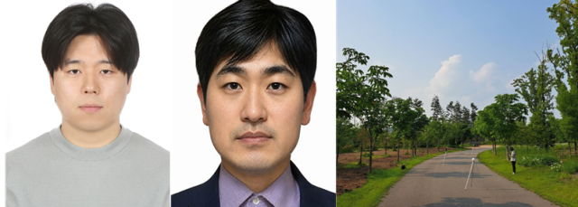
Hwang Se-yeon, a master's student in forest resources at Kookmin University who led the research, said the study established a foundation for automating the entire process from tree structure measurement to carbon storage calculation in urban green spaces with complex layouts and varied tree forms.
The research is part of a broader collaboration. Kookmin University (Kookmin) and the Korea Arboretum and Garden Management Institute, the state body that manages South Korea's national arboretums and gardens, signed an agreement in September 2024 to jointly develop technologies for enhancing carbon absorption in urban forests. The previous year's work produced a drone LiDAR-based carbon prediction formula for garden trees. Ground-based LiDAR, used in this study, operates at closer range and captures finer structural detail.

Copyright ⓒ Aju Press All rights reserved.